Ground Penetrating Radar
My role in the traverse is “Tech Support”, which largely relates to the ground penetrating radar (GPR) that we use to detect any crevasses that might be in our path. Nearly all the crevasses we encounter will be covered with snow, and essentially invisible from the surface. The radar uses 400MHz radio waves to detect any discontinuities in the ice, such as layers of snow or between ice and the void of a crevasse.
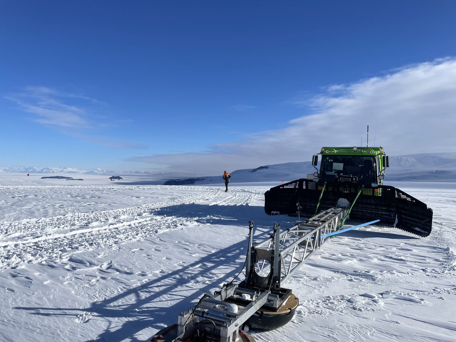
The GPR antenna is mounted on a 9m boom extended in front of a PB, and the computer that processes radar data is in the passenger seat along with a laptop that we use for logging locations of any crevasses we find (as well as fuel stops, load checks, any other items of interest). When we’re going through areas where crevasses might be, Merijn and I will take turns operating the vehicle and GPR, to ensure that we only cross crevasses when they have a sufficiently thick snow bridge - we look for a 1:1 ratio between crevasse width and bridge thickness.
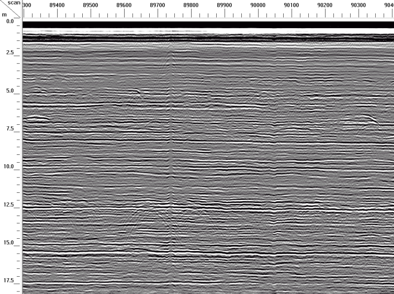
We have some warning when approaching a crevasse; although the radar is pointed down, it actually detects over a sort of conical shape below. As we approach a crevasse, that cone intersects with the bottom of the crevasse, and as we get closer that intersection point moves closer to the surface. The result is a set of parabolic “telltale” lines with the peak at the near edge of the crevasse.
An example radargram, showing a relatively thin crevasse, telltales start at about sample 89700:
We took the PistenBully with the GPR setup around some local routes, this is at an area called “room with a view”, which has no enclosed room but does have an excellent view:

